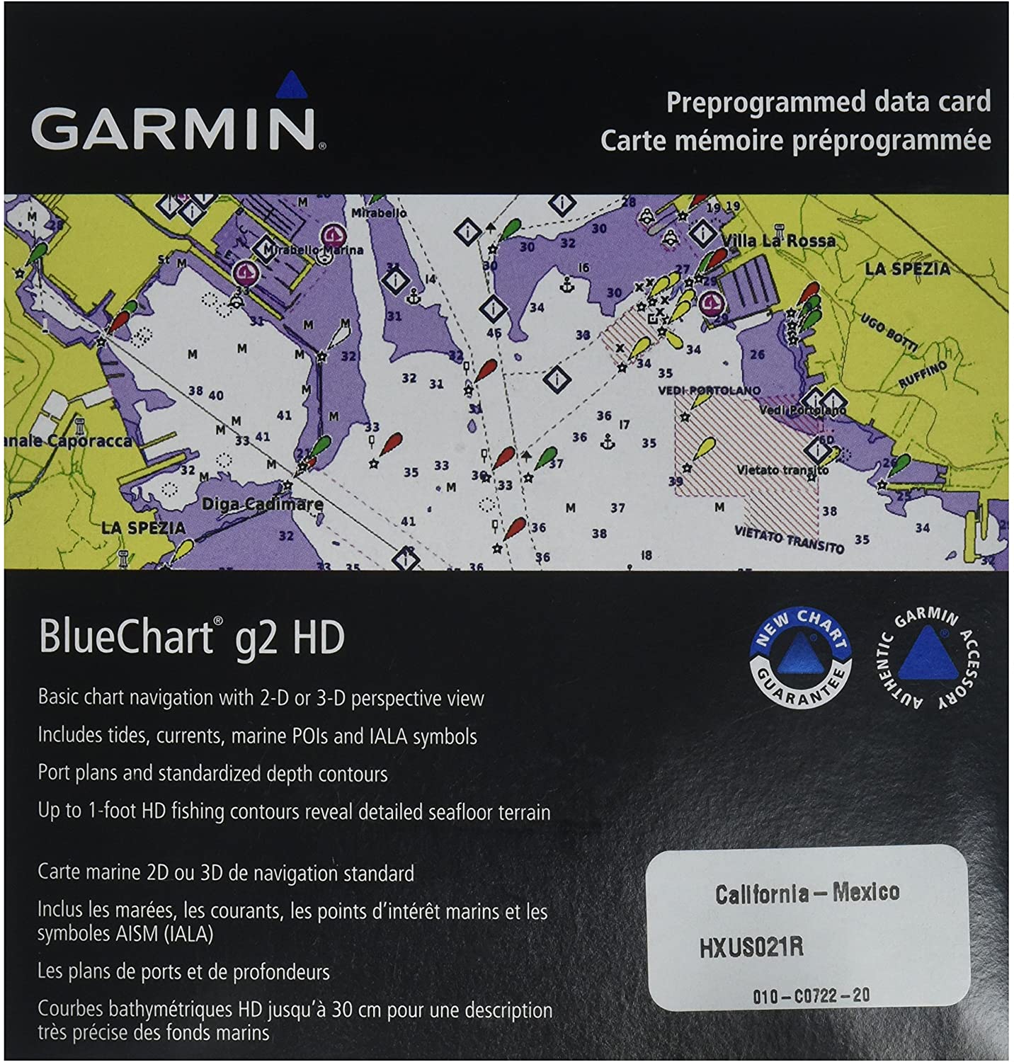
B00283FTQM Garmin BlueChart g2 California/Mexico Saltwater Map microSD Card
$76.00
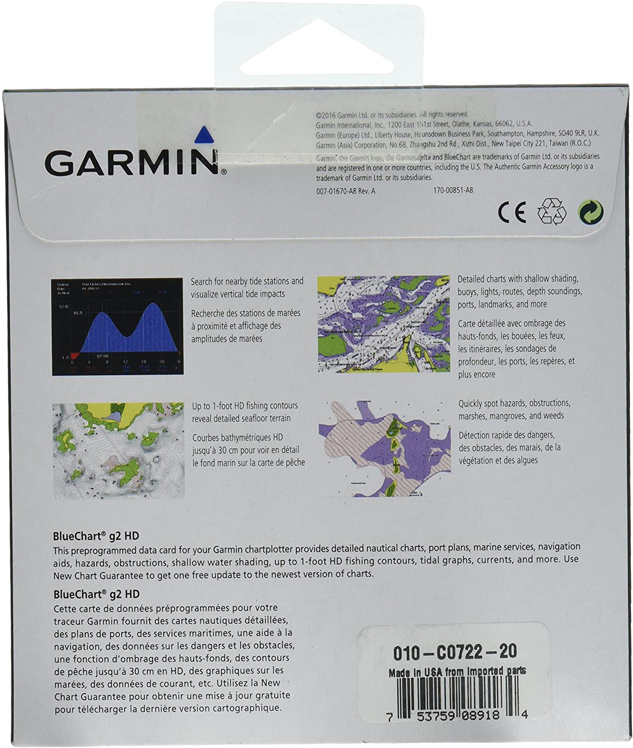
Package Type:Standard PackagingSee your surroundings more clearly with BlueChart g2 data. With BlueChart g2, you’ll get detailed marine cartography that provides convenient viewing of nautical content. BlueChart g2 allows you to see your vessel’s precise, on-chart position in relation to naviads, coastal features, anchorages, obstructions, waterways, restricted areas and more. You will also have access to detailed mapping capabilities that include Safety Shading, Fishing Charts, smooth data transition between zoom levels, harmonious transition across chart borders, and reduction of chart discontinuities.
Realistic navigation features showing everything from shaded depth contours and coastlines to spot soundings, navaids, port plans, wrecks, obstructions, intertidal zones, restricted areas, IALA symbols and more
Smooth display presentation including seamless transitioning between zoom levels and more continuity across chart boundaries
#86,264 in Electronics (See Top 100 in Electronics)#90 in Marine GPS Units & Chartplotters
########
0
FALSE
Garmin
8 x 6 x 1 inches
